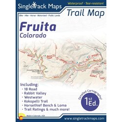
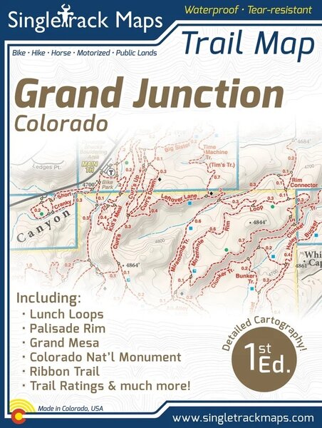
Singletrack Maps Grand Junction Trail Map

Details
Printed on waterproof & tear resistant paper for rugged toughness!
Map Details:
Trail Information and Ratings: Easy, Medium, Difficult
Detailed Contour Lines.
Measures 4” x 5.5” folded and 16” x 22” fully open
1st Edition - Printed in March 2018
Field Checked & Accurate!
Field checked cartography for the most accurate and up-to-date map available! We don’t rely on other parties for our data, we get outside and collect our own trail and geographic data.
*Please note that this 1st Edition maps does NOT show The Palisade Plunge.
Map Includes:
Lunch Loops
The Ribbon Trail
Third Flats
Gunny Loop
Butterknife Trail
Colorado National Monument
Palisade Rim Trail
Grand Mesa
See the Whole Picture
Stop staring at that tiny phone screen & see the entire landscape in one glance on this map! Beautiful and accurate cartography gives you the "big picture" view without having to scroll around on a 4" digital screen.
Local
Made in Colorado! From the cartography to the final printing. Every step takes place in Colorado. Buy Local!
Reviews